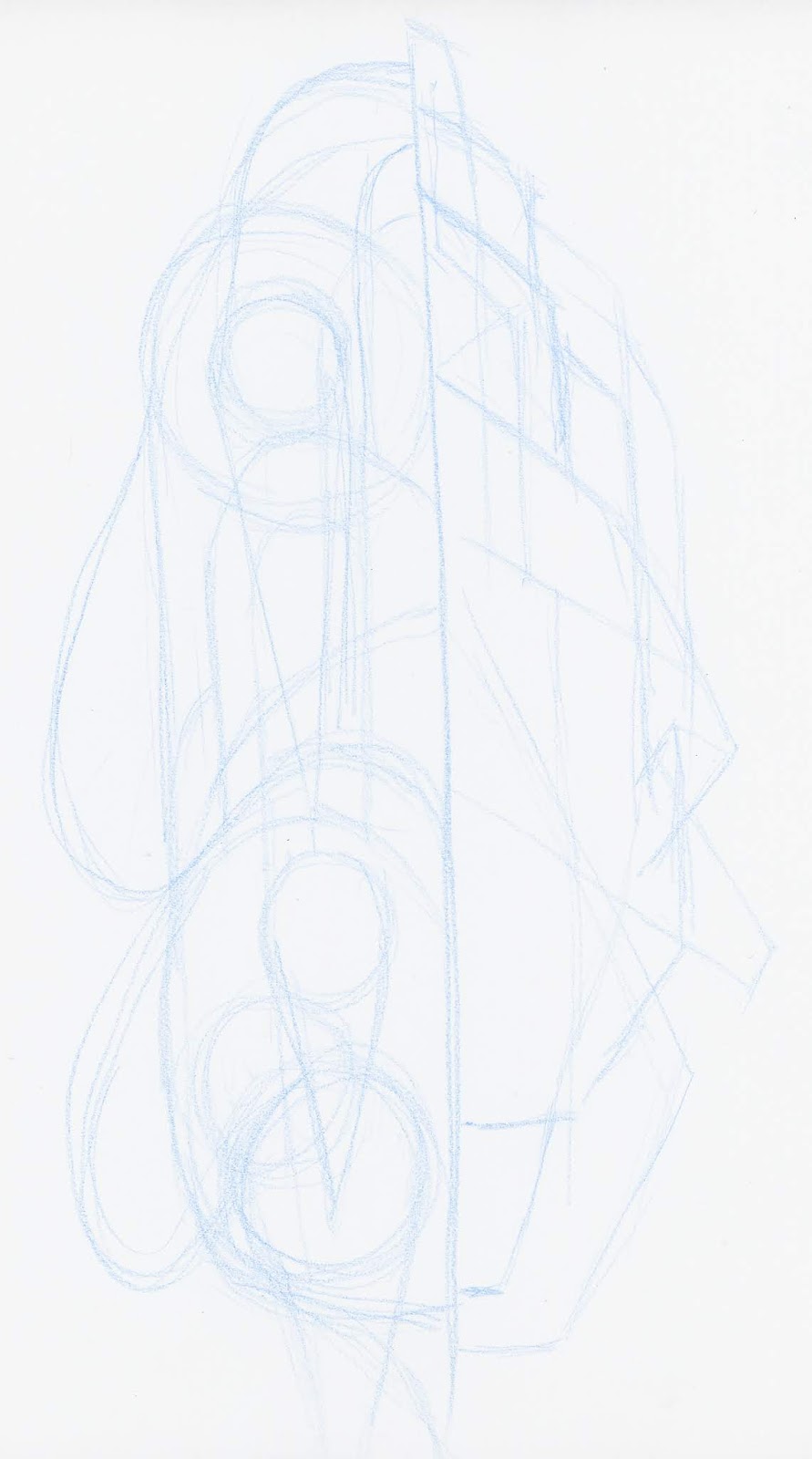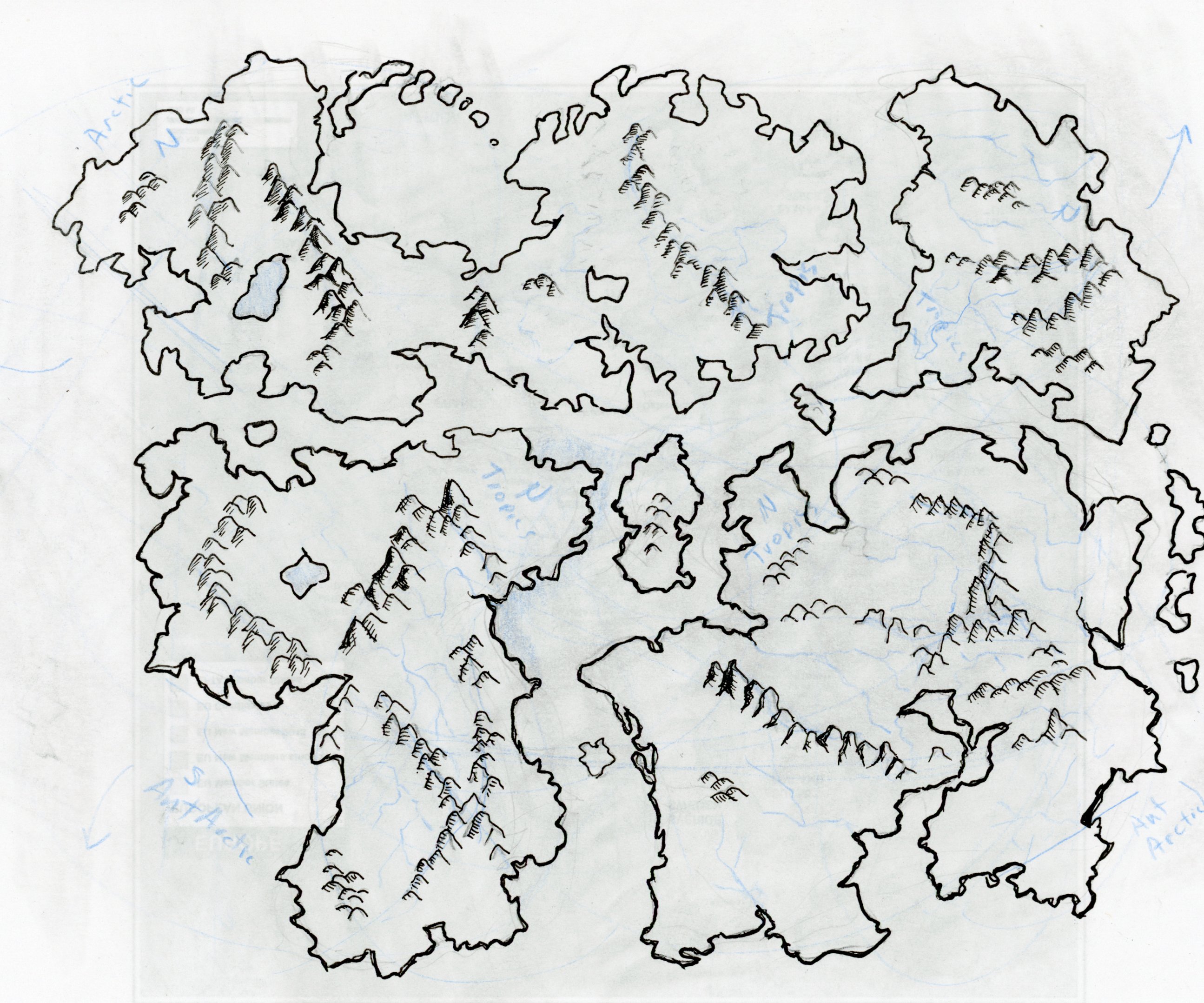
In this drawing I first used a blue colored pencil to rough in some random shapes. I then selected contours from the sketch to form approximate outlines for the continents. I made them so the fit together like a puzzle, but not too closely. I added mountain ranges, hills, bodies of water and major rivers, and directions of rotation and movement for the continents. Note that plate tectonics would have the different plate either moving apart or together and there would be plates for the oceans as well. I did not get that sophisticated for this set of drawings.
The first continent I drew was from the bottom right in the above world map. This one has been rotated clockwise. The bottom of it should reach the southern polar region, and the top the tropics. I intended that the drawing should not match the upper sketch exactly. This is supposed to be the continent after millions of years of drift. I also put in some impact craters from meteorites since this planet is in a system with relatively frequent meteor impact.

I thought I should do the land masses from largest to smallest so the next one was the continent in the upper left. Rotated and redrawn. I also decided to add some glacial modification to the upper regions by adding some hills and lakes.

The next continent, have not gotten too far with this one yet. I still have the blue lines on this one which I will go over and erase after I trace over it with black marker.

Next is the smallest continent.

Finally is the first continent with additional detail and colored with colored pencils.

I added tropical jungle regions in the north near the equator, deciduous forest regions near the rivers and coniferous forests near the mountains. There is a desert in the upper center and some broken lands at the bottom center.


I used GIMP to combine these into a single world map:

I next selected this map because I thought the narrow waist might prove an interesting area like the panama canal. I figured this would be an important trade route with some large ports. I first labeled some typical creatures or themes that might be found in these areas such as fey, seelie and unseelie, nordic, mythic, etc.

Next I selected an area near the center where I could start things out. I selected this region in GIMP and increased the brightness so there was only a faint outline when I printed the page.
I did not want to start out in the big city, the large ports. I added a scale for the map and started converting each mountain into a large mountain. After looking up some actual sizes of things and thinking about what distance I would need to go from arctic to tropical at least 2000 miles I discovered that each mountain would more likely represent an entire mountain range. Each single tree should represent an entire forest. I decided to use this for a scratch paper. I added some size scales and some approximate travel times in days.
I added more detail on the creatures. Instead of goblins, I now have the Goblin Hills with the three main types of goblins. I started coming up with names for things. I decided to combine two different languages to come up with the names. The noun is based off of Romance languages and the adjective is based off of Nordic languages, adjective following the noun. I then modify the names to make them sound better. For example Port is Puerto changed to Parto. East is Ost. So East Port is Partoost which I changed to Partus. The Port of Partus. Parto vest becomes Partovest. The inland sea is Lande Mare or Landemer.
The sea comes in pretty far at this point so I thought there would be some sort of canyon or rift at its furthest point. The west seems to have more monsters so it seemed a good site for a sorcerer on the coast and near the forest.
The river forms a marshland before it flows into the sea. In ancient times this would have been a city but now it is a ruins inhabited by frog folk and undead.

This one is now redrawn with some creatures added and some names. The little kingdom is Regnolitt which could become Renolit in simplified form. I started adding some roads, towns, and bridges. The lake is good fishing so there is a town on the lake. They have to get the fish to market in Partus so there must be a road connecting them. Renolit sends goods down the river but they have to go by land to get to Kudafis or Partus in order to avoid the ruins at Rovimyr.

At this point I would be all set to start up an adventure sandbox near Regnolit.